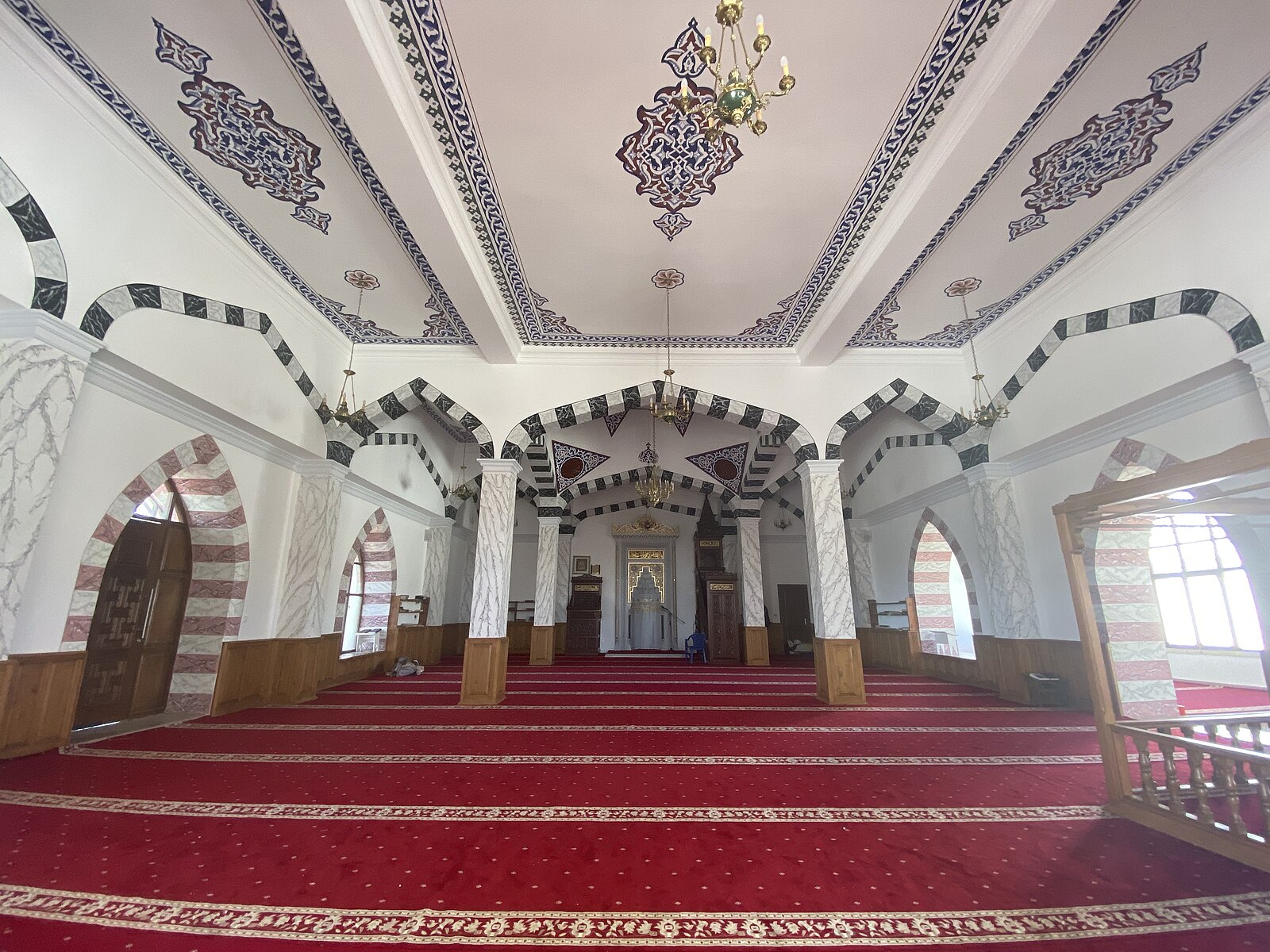
03/ Cities
Recovered Memory
Chapter 03Act IISovereignty

Cities

Atlas of refuge, scholarship, and trade across the Horn

المدنal-Mudun

Twelve places that hold the geography of Ethiopian Muslim memory — sanctuary cities, sultanate capitals, archaeology sites, and Red Sea ports.

Period
7th century — today
Reading time
Section
Act II
II · 01 — The Atlas

الخريطةA map of survival.

Hover any node to read its memory. The lines are caravan and sea-roads — evocative, not exact. The geography here is moral as much as cartographic.

Atlas — Horn of Africa
Cities & Landscapes
Red SeaHighlandsIndian OceanNEGASHالنجاشيHARARهررHARLAAهرلاIFATإيفاتALIYU AMBAعليو أمباAWSAأوساBATIباتيWOLLOوَلّوABBA JIFAR PALACEقصر أبا جيفارZEILAزيلعDAHLAKدهلكMASSAWAمصوع
First sanctuary
Sultanate / city
Archaeology
Wound / revival
Outside today's borders
Red Sea node
II · 02 — The anchor cities

المراسيThe anchor cities.

Negash, Harar, Wollo, and the Abba Jifar Palace. Four places that hold the architecture of Ethiopian Muslim memory: sanctuary, scholarship, wound, and kingdom.

01 / 04
النجاشي

NegashAl-Nejashi

The first sanctuary

7th century onward · Ethiopia · Tigray
Interior of the Al-Nejashi Mosque, Negash, Tigray.
Negash
Photo · Evan Williams · CC BY-SA 4.0 · Wikimedia Commons

Negash is where the Ethiopian Muslim memory begins. Before Madinah became the home of Islam, Abyssinia became its shelter. The first Muslims crossed the sea seeking safety from persecution, and al-Najashi protected them.

For Muslims, Negash is not just a village in Tigray. It is the first African sanctuary of Islam — and one of the earliest places where Islam touched African soil.

UNESCO's 2026 Tentative List entry describes Negash as directly associated with the First Hijra of 615 CE, with the Al-Nejashi Mosque, the cemetery of early Muslim settlers, Arabic-inscribed gravestones, and more than thirteen centuries of continuous Muslim presence.

Memory lineBefore Madinah became home, Abyssinia gave shelter.
First HijrasanctuaryNajashirefuge
Source · UNESCO World Heritage Centre — Tentative List
02 / 04
هرر

Harar

The walled city of scholars

Medieval to present · Ethiopia · Harari
A gate of Jugol — the fortified walled city of Harar, Ethiopia.
Harar
Photo · Elias Tesfaye · CC BY-SA 4.0 · Wikimedia Commons

Harar is the heart of Ethiopian Islamic urban memory — a city of walls, gates, mosques, scholars, manuscripts, Qur'an reciters, merchants, and bookbinders who carried Islam through centuries of pressure.

UNESCO describes Harar Jugol as a Muslim city whose walls were built between the 13th and 16th centuries, with 82 mosques and a distinctive urban form shaped by African and Islamic traditions. It was the capital of the Harari Kingdom from 1520 to 1568, later an independent emirate, an important trade center, and a center of Islamic learning.

HMML describes Harar as the historic center of Islamic scholarship in the Horn of Africa — where most digitized Ethiopian Islamic manuscripts were copied: Qur'ans, prayer books, Shafi'i legal texts, Harari and Oromo materials, and evidence of connection with Yemen and Mecca.

Memory lineHarar was not a margin. Harar was a capital of Muslim memory.
scholarshipmanuscriptsmosquesemirateHarari identity
Source · UNESCO · HMML manuscript collections
03 / 04
وَلّو

Wollo

The land of revival and wounds

Especially 19th century onward · Ethiopia · Amhara
The Grand Anwar Mosque in Addis Ababa — Friday-prayer focal point of the 2012–2013 Dimtsachin Yisema movement, an inheritor of Wollo’s long tradition of Muslim scholarship and resistance.
Wollo
Photo · Gangaddis · CC BY-SA 4.0 · Wikimedia Commons

Wollo is not one city. It is a Muslim historical landscape — carrying the memory of scholarship, Qur'an schools, reform, forced conversion, Boru Meda, hidden faith, survival, and revival.

Hussein Ahmed's Islam in Nineteenth-Century Wallo marked a major advance in the study of Ethiopian Islam, focusing on 19th-century revival at the edge of the Christian state through religious networks.

On this map, Wollo is the emotional center of pain and renewal.

Memory lineWollo is where Ethiopian Islam was wounded, hidden, renewed, and carried forward.
revivalscholarshipBoru Medahidden faith
Source · Hussein Ahmed · Persée review
04 / 04
قصر أبا جيفار

Abba Jifar PalaceJiren · Jimma

The Oromo Muslim kingdom of the southwest

19th — early 20th century · Ethiopia · Oromia
Aerial view of the Aba Jifar Palace complex at Jiren, Jimma — seat of the Oromo Muslim kingdom of Abba Jifar II.
Abba Jifar Palace
Photo · Nesru Temam · CC BY-SA 4.0 · Wikimedia Commons

Jimma proves Ethiopian Islam was not only eastern, Harari, Afar, Somali, or Argobba. It was also Oromo and southwestern.

Jimma emerged as an Oromo state in the 19th century under Abba Jifar I. The Gibe Oromo embraced Islam in the mid-19th century through long-distance trade, Muslim merchants, and clerics. By the end of the 19th century, Jimma had about 60 madrasas around Jiren, becoming a hub of Islamic learning and culture.

Abba Jifar II negotiated autonomy under Menelik, including control over religious affairs. After his death in 1932, Haile Selassie ended Jimma's autonomy and absorbed the kingdom into Ethiopia.

Memory lineJimma was the southwest's Muslim crown — a kingdom, a market, a madrasa-land, a refuge.
Oromo IslamAbba Jifarmadrasascoffeeautonomy
Source · Rift Valley Institute · Visit Ethiopia
II · 03 — The constellation

العقدPorts, markets, sultanates, ruins.

Eight more places in the geography of Ethiopian Islam — buried cities, caravan markets, river corridors, sea gates. Each one a node in a network that was never only one capital.

Archaeology
هرلا

Harlaa

The buried Islamic city

Harlaa is the earth speaking when written history is silent.

Even when the books were silent, the earth remembered.

Ethiopia · near Dire Dawa · 12th – 15th century
Corridor
إيفات

Ifat · Yifat

The sultanate of the road

Ifat was a Muslim political world — not a footnote.

Ifat was a road, a sultanate, and a memory of Muslim rule.

Ethiopia · north Shewa · Medieval — 19th century memory
Corridor
عليو أمبا

Aliyu Amba · Aleyyu Amba

The Muslim market of Shewa

Aliyu Amba was one of the great Muslim market towns of central Ethiopia — a caravan hub, a Muslim scholarly space, and a living link between Yifat, Shewa, Harar, the Danakil/Afar corridor, and the coast.

In Aliyu Amba, the marketplace was also a Muslim institution.

Ethiopia · north Shewa · 19th century
Corridor
أوسا

Awsa · Aussa

The Afar Muslim corridor

Awsa represents the lowland sultanate memory of Ethiopian Islam — Afar Islam, salt routes, the Awash river, lowland political authority, and the movement of power from Harar toward Awsa.

Awsa carried Islam through salt, river, clan, caravan, and sultanate.

Ethiopia · Afar · 16th century onward
Market
باتي

Bati

The market where worlds met

Bati should be treated as a Muslim market landscape, not merely a town. It connected Wollo, Afar, Oromo, Argobba — highland and lowland — through salt, livestock, cloth, caravan movement, and Muslim social life.

Bati was where the highlands and lowlands spoke through Muslim trade.

Ethiopia · Wollo edge · Early modern — modern
Outside borders
زيلع

Zeila · Zayla

The ocean gate

Zeila is outside today's Ethiopian border, but it is central to Ethiopian Muslim history — the sea door of Ifat, Adal, Harar, and the Muslim interior.

Zeila was the door. Through it, the Horn breathed with the ummah.

Today Somaliland · Somalia · Medieval
Red Sea
دهلك

Dahlak

Red Sea island of Muslim power

Dahlak belongs to the northern Red Sea chapter of Ethiopian Islam — a Muslim island power, maritime node, and Red Sea connector between the Horn, Yemen, Egypt, Arabia, and Indian Ocean trade.

Dahlak was a sea-road of Islam.

Today Eritrea · Medieval
Red Sea
مصوع

Massawa

The northern sea gate

Massawa was one of the northern gateways connecting the highlands to the Muslim Red Sea world — part of the historical network that shaped trade, travel, scholarship, politics, and Muslim contact between the coast and the Ethiopian interior.

Massawa opened the northern road to the Red Sea.

Today Eritrea · Medieval to modern
II · 04 — Supporting nodes

العقدSmaller points on the same map.

Not full chapters — but pins. Each one is a thread that ties back into the larger fabric: Wollo's nobility, Jimma's mosque, Argobba's settlements, the contested medieval frontier.

01دسيDessieModern Wollo Muslim urban memory, scholarship, trade, and identity.Wollo
02Were Ilu / Warra HimanoWollo Muslim nobility, conversion pressure, revival, and Boru Meda memory.Wollo
03Boru MedaNot a "city of glory," but a wound-site of forced conversion and community trauma.Wollo
04JirenRoyal and Islamic seat of Jimma Abba Jifar.Jimma
05Afurtama MosqueJimma's remembered early Jumu'ah mosque and Qur'anic learning site.Jimma
06Gachene / Argobba settlementsArgobba Muslim continuity — language, settlement, and trade memory.Argobba
07Jijiga / CharcharCaravan corridor between Zeila, Harar, and the interior.Eastern corridor
08Bale / BaliMedieval Muslim region of the southeastern highlands.Bale
09Hadiya / Dawaro / FatagarMedieval Muslim-contested regions — best shown as historical zones rather than exact cities.Medieval contested
الإسلام في إثيوبيا لم يكن غريبًا.
كانت له مدن، وطرق، وعلماء، وملوك، وأسواق، ومخطوطات، وقبور، ومساجد.

To recover these places is to recover the map that was taken from Ethiopian Muslim memory.

Islam in Ethiopia was never foreign. It had cities, roads, scholars, kings, markets, manuscripts, graves, mosques — and mothers who taught the Qur'an in homes when public power turned against them.

This is not only geography.
It is a map of survival.

— End of Chapter II —